Severe Weather Expected for Northern Illinois Wednesday
Tomorrow, Northern Illinois is reported to experience extreme severe weather.
It seems as if a summer storm is approaching.
According to the National Oceanic and Atmospheric Administration, the threat of severe weather is increasing for much of tomorrow. The area is at a Moderate risk of numerous storms which are expected, including areas of flooding, damaging winds, large hail and even tornadoes.
The storms will be happening all day, yet the largest threat is in the mid-late afternoon and evening.
I like to cross check my references before I start to jump to conclusions when it comes to weather. After all, the weather can be extremely unpredictable.
I really enjoy following Illinois Storm Chasers on Facebook. I think they have some of the most accurate predictions of the weather.
Here's what they have to say:
EXPLOSIVE DEVELOPMENT OF SUPERCELLS.
VERY LARGE HAIL....TORNADOES AND DAMAGING WINDS APPEAR LIKELY AS THESE CELLS MOVE ACROSS SRN WI AND NRN IL AND POSSIBLY INTO CNTRL IL. THE TORNADO THREAT SHOULD BE MAXIMIZED NEAR THE SFC LOW...WHICH
WILL TRACK NEAR THE WARM FRONT WHERE LOW-LEVEL SHEAR/TURNING WITH HEIGHT WILL BE GREATEST. OTHER MORE ISOLATED CELLS MAY EXTEND SWD INTO CNTRL IL.BY EVENING...A RAPID UPSCALE-GROWTH INTO A SEVERE MCS IS
ANTICIPATED...WITH THE POTENTIAL FOR WIDESPREAD AND SIGNIFICANT DAMAGING WINDS. FORECAST WIND FIELDS JUST OFF THE SURFACE FROM NAM/GFS SHOW IN EXCESS OF 50 KTS...AND A INTENSE CONVECTIVE FEEDBACK
SIGNAL WITH THE WIND FIELDS OVERALL SUGGESTING AN ORGANIZED SYSTEM.
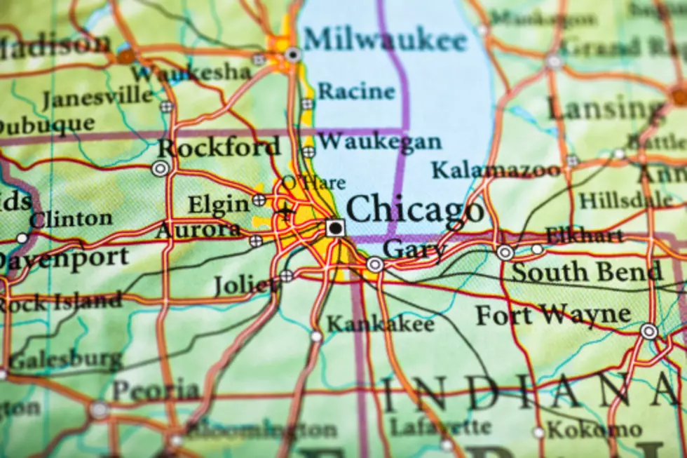
It looks as if much of Illinois, especially Rockford, DeKalb and the Chicago area can expect to be hit pretty heavily.
As always, it is important to be prepared for severe weather in your area. Communicate your emergency plan with your family and neighbors and take extra caution when traveling.
More From 96.7 The Eagle