
Another Storm Takes Aim at Illinois, 1/2 Foot of Snow Possible
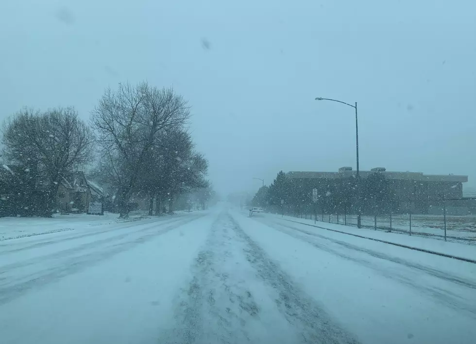
A Winter Weather Advisory is in effect through late afternoon on Wednesday (1/25) for most of northern Illinois, with some areas downstate getting over half a foot of accumulation.
Flurries are expected to begin early Wednesday morning across the state with 1 to 3 inches of accumulation expected in the Rockford region, and up to 4 inches closer to Chicago, according to the Weather Channel.
Slippery road conditions are expected during the commute tomorrow (Wednesday) morning in northeastern Illinois where temperatures are expected to be in the lower to mid-30s.
In Central Illinois, a Winter Storm Warning is in effect through Wednesday evening where more than 7 inches of snow accumulation is possible in some areas.
Another snowstorm is possible this weekend
The current extended forecast from the Weather Channel for the Chicago and Rockford region shows a chance of accumulating snow this upcoming Saturday (1/28) when up to 6 inches of snow is possible and high temperatures in the lower 20s.

Some of the coldest temperatures of the year will descend on Illinois to begin next week with high temperatures only making it into the teens and lows will be near zero.
Frigid beginning to February
The first couple of days of February is expected to be brutally cold with high temperatures in the single digits and overnight lows -5 below zero, according to the current forecast from the National Weather Service.
If you're planning on traveling during this winter weather, check current road conditions across the state before you leave by clicking HERE.
Lingering snow showers could maintain slick patches on roads for the afternoon commute as well. If you must travel, keep an extra flashlight, food, and water in
your vehicle in case of an emergency. -N.W.S.
To see the latest weather forecast for the Rockford and Chicagoland region, CLICK HERE.
LOOK: Here's where people in every state are moving to most
Gallery Credit: Amanda Silvestri
LOOK: The most expensive weather and climate disasters in recent decades
Gallery Credit: KATELYN LEBOFF
More From 96.7 The Eagle

